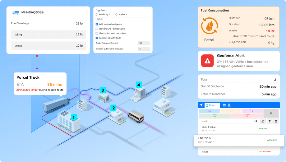
In Texas, fleet managers face growing pressure to track vehicle activity without violating privacy mandates. The state prohibits unauthorized GPS tracking, and businesses must tread carefully while ensuring operational oversight. For logistics and commercial transport operators, balancing legal tracking practices with route control and vehicle visibility has become a core operational challenge. Advanced fleet tracking software with geofencing capabilities is helping Texas-based companies manage their routes, enforce delivery zones, and maintain accountability: all while respecting consent-driven frameworks.
Optimizing fleet performance in Texas with geofencing-enabled tracking
Introduction
Challenges
- Lack of route visibility in texas:
Fleets covering highways and backroads often lack route-level control. This leads to undetected deviations, delays, fuel waste, and SLA breaches. - No alerts for zone entry or exit:
With vast geography, vehicle entries and exits from depots or restricted zones often go unnoticed due to the absence of real-time alerts. - Inefficient route planning across long-distance deliveries:
Without optimized planning, fleets take longer routes across cities and rural areas. This leads to wasted fuel, missed deadlines, and frustrated clients. - When Driver Monitoring Becomes a Legal Liability:
Traditional tracking lacks configurable boundaries, making it hard to balance driver oversight, compliance, and data privacy.
Solution
- Geofence-based route enforcement:
Define virtual boundaries around cities, highways, or customer locations. The system logs vehicle movement and notifies managers of entry or exit events to ensure route compliance and accurate deliveries. - Custom alerts for restricted zone violations:
Designate restricted areas such as unauthorized parking spots, competitor sites, or high-risk zones. Get real-time alerts when a vehicle enters these zones, enabling immediate corrective action. - Smart route planning and job assignment:
Create optimized routes with predefined stops and assign them to vehicles. The system monitors route adherence and notifies managers of any deviations or missed tasks. - Automated compliance with location-based logs:
All vehicle activity within geofenced areas is automatically recorded. These digital logs support audits and regulatory compliance without compromising driver privacy.
Results
- Reduced off-route travel by up to 35%: Vehicles stayed within designated zones more consistently. This helped improve delivery timeliness and reduce route deviations.
- Improved visibility across Texas zones: Geofencing allowed managers to monitor vehicle entry and exit from key areas in real time, enhancing overall operational control.
- Enabled compliance with tracking laws: The system maintained accurate location records without overstepping legal boundaries. This helped in supporting lawful and transparent fleet tracking.


