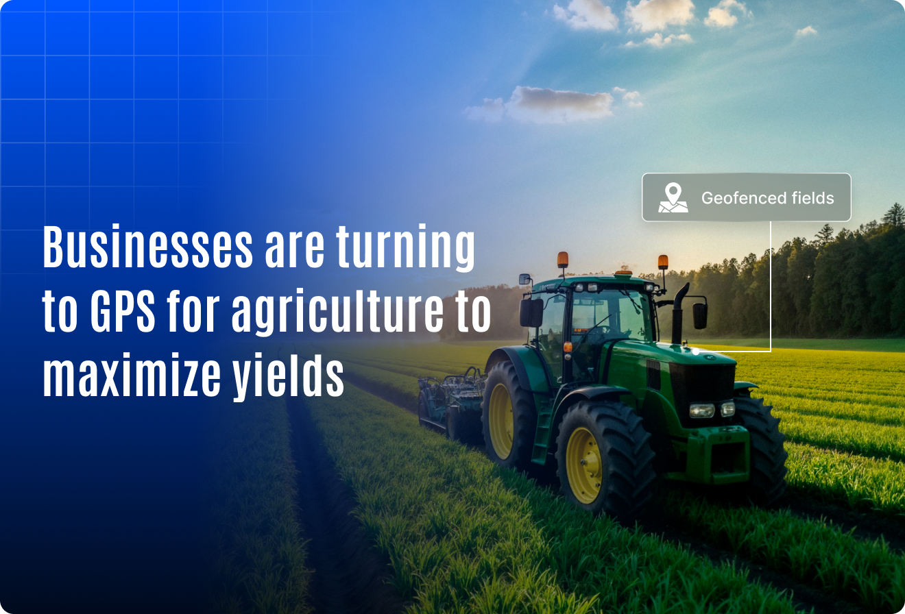
Businesses Are Turning to GPS for Agriculture to Maximize Yields
Global agriculture is under intense pressure. With the global population projected to hit 9.7 billion by 2050, the world will need to produce 70% more food to meet demand. At the same time, cultivable land and natural resources are shrinking making efficiency and precision no longer optional, but essential.
This is where GPS technology is transforming the future of farming.
More than 80% of large farms in North America and Europe already use GPS-enabled systems to automate machinery, monitor crop health, and optimize inputs like water, fertilizer, and fuel. What was once seen as an expensive innovation is now a core tool for operational success. Emerging markets like India, Africa, and Southeast Asia are rapidly adopting it to scale sustainably and boost margins.
Today, it’s not just about tracking tractors or plotting fields. It’s about turning raw location data into actionable insights: predicting yields, detecting issues before they spread, and achieving more output with fewer inputs. For agribusinesses, cooperatives, and B2B solution providers, the shift to GPS-powered precision farming is a game-changer and those who embrace it early are already gaining a competitive edge.
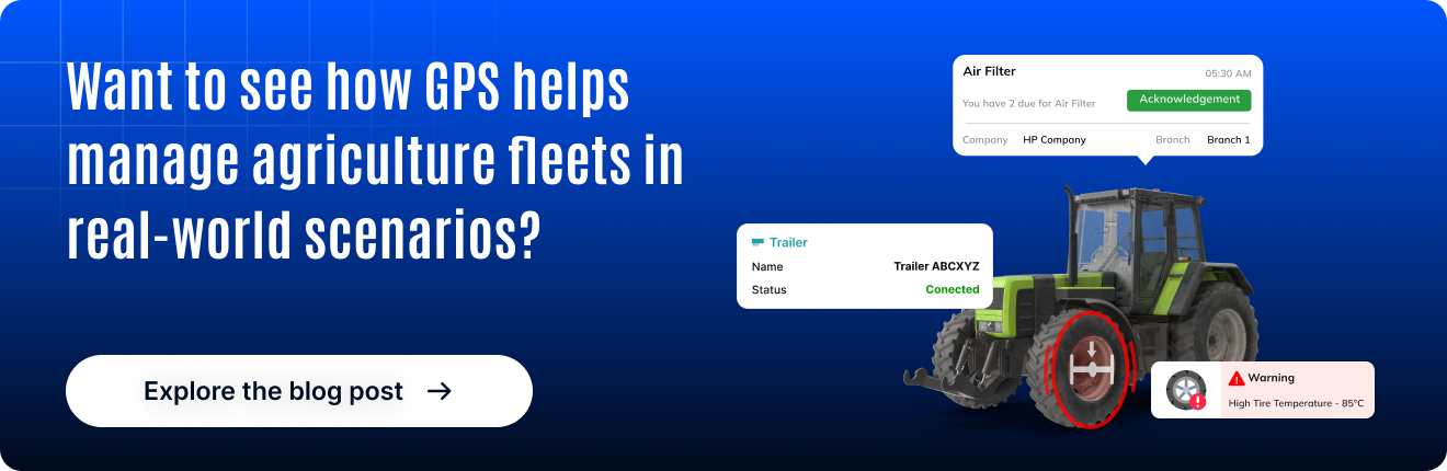
Wondering how GPS is redefining modern agriculture? Let’s explore why it’s becoming indispensable for B2B agricultural operations.
How is GPS used in agriculture?
GPS (Global Positioning System) for agriculture refers to the use of satellite-based positioning data to guide farming operations with high accuracy.
It enables:
- Precise movement of machinery and equipment
- Targeted application of seeds, fertilizers, and pesticides
- Real-time monitoring of crops and field conditions
- Automated data logging for performance analysis
This technology is the foundation of precision farming, where inputs like water, seeds, and chemicals are applied based on real-time field data not general assumptions.

Key applications of GPS in modern agriculture
1. Field mapping and soil sampling
- Define field boundaries with GPS-tagged points.
- Log soil samples from exact coordinates for consistent data year over year.
2. Auto-steering and route optimization
- Use RTK GPS to guide tractors in straight lines.
- Reduce overlap and missed spots during seeding, spraying, or plowing.
3. Variable rate application (vra)
- Apply fertilizer or pesticides only where needed.
- GPS-guided maps enable zone-specific treatment.
4. Crop monitoring with drones and sensors
- Drones fly over GPS-defined paths to capture crop health images.
- Satellite data provides NDVI maps to detect stress, pests, or disease early.
5. Yield mapping and harvest optimization
- Track crop yield and moisture content by location.
- Compare season-over-season performance using GPS-coordinated data.
Benefits of GPS for agriculture
Higher yields
- Optimize every inch of land with data-backed decisions.
- Minimize waste and input overuse.
Cost reduction
- Save on fuel, labor, water, seeds, and agrochemicals.
- Prevent repeated passes and unnecessary fieldwork.
Better sustainability
- Reduce runoff by applying chemicals more responsibly.
- Lower environmental impact with precise operations.
Smarter workforce management
- Train operators use GPS-guided machinery with minimal learning curve.
- Reduce human error through automation.
Real-time visibility
- Track field activities, equipment, and inputs live from the control room.
- Monitor productivity remotely.
Real-world use cases in agriculture
USA
- Midwest farms used GPS-enabled yield mapping and VRA.
- Result: Saved $25 per acre in fertilizer and reduced fuel use by 15%.
Australia
- Wheat growers in Victoria implemented GPS-based field layout planning.
- Result: Lowered overlap by 12%, improving spraying efficiency.
Tools and technologies supporting GPS for agriculture
- RTK GPS (Real-Time Kinematic): Delivers 2–5 cm precision.
- GNSS Receivers: Used in drones, harvesters, and tractors.
- GIS Platforms: Create actionable field maps.
- VRA Software: Adjusts seeding or spraying zones based on soil data.
- Integrated Drones: Fly automated GPS paths for crop imaging.
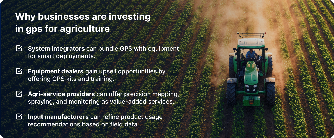
For B2B stakeholders in agriculture, GPS opens new revenue streams and operational models:
Challenges to consider
While GPS offers clear benefits, businesses must be aware of a few hurdles:
- Initial cost of GPS systems, especially RTK setups
- Connectivity issues in rural or remote areas
- Skill gaps among workers not trained in tech usage
- Data overload if not integrated with decision support tools
However, these challenges are rapidly being addressed with affordable hardware, mobile apps, and training support.
The future of GPS in agriculture
- AI + GPS integration will offer predictive insights on yield and soil health.
- Autonomous tractors and robots will rely on GPS for operations.
- Data marketplaces may emerge where GPS-tagged field data is shared or sold.
- Sustainability tracking will use GPS to verify compliance with global carbon and water usage targets.

Summary: GPS for agriculture is not a trend, it’s a necessity
As the agri-business world shifts toward data-driven decision-making, GPS technology stands out as a must-have tool for:
- Maximizing yields
- Reducing input costs
- Enhancing sustainability
- Supporting large-scale operations
Whether you’re a farmer, agri-service provider, or system integrator, adopting GPS for agriculture today means staying ahead tomorrow.